Map
Map
Map is a tool to represent or determine deposition of any feature or any point on the earth.It is two dimensional diagrammatic representation of the whole or part of the earth and its surface features both natural or cultural at a given scale on a plane paper.
How to draw a map
There are various ways by which the earth can be mapped.
i) By freehand sketches and diagrams,
ii) By actual survey with the help of instruments like chain and tape, theodolite, prismatic compass, plane table etc.
iii) By photographs like aerial photographs or ground photographs.
iv) By Satellites, Remote sensing, GPS. Digital mapping has now emerged as an important tool for mapping.
On the basis of Scale
Types of maps
1. Large Scale maps
2. Medium Scale maps
3. Small Scale maps
1. Large Scale maps
These maps represent small area of the earth on a large size of paper. For example Cadastral map, Topographical map.
Scale is 1:10000 or less.
2. Medium Scale maps
These represent relatively medium area of the earth on a relatively medium size of paper. Scale ranging from 1:10000 to 1:100000.
3. Small Scale maps
These maps represent large areas on a small sheet of paper. These have fewer details. Example of small scale maps are Atlas, Wall maps. The give only general picture of the area represented.
Scale 1:100000 and above.
Types of Maps
1. Cadastral Map
2. Topographical Map
3. Thematic Maps.
1. Cadastral Map
The term cadastral is derived from French word cadastre resister of territory property. The cadastral maps are drawn to register the ownership of landed properties by demarcating the boundaries of fields, buildings etc. It is large scale map and the scale is varying from 1:8000 to 1:16000. The city may also be included in this category.
2.Topographical Map (Toposheet)
Topographical map with surface contours prepared and published by Survey of India.It is the excellent base map for geological mapping. A topographical map shows the surface features (mountains, hills, valleys, rivers, canals, lakes, swamps, wells, roads, railways, vegetation, villages, towns etc.) on a sufficiently large scale to enable the individual features to be identified on the ground by their shape and position. The scale of Indian Toposheet is 1:50000.
3. Thematic Map
Thematic maps are usually prepared on a small scale highlighting specific themes such as relief, temperature and political divisions. According to the purpose of theme, maps are broadly classified in the following-
I Physical/ Natural maps
II Cultural Maps
III Military Maps
I Physical Maps
These are
A) Orographic or Relief maps
These showing features like mountains, plains, plateaus, drainage patterns.
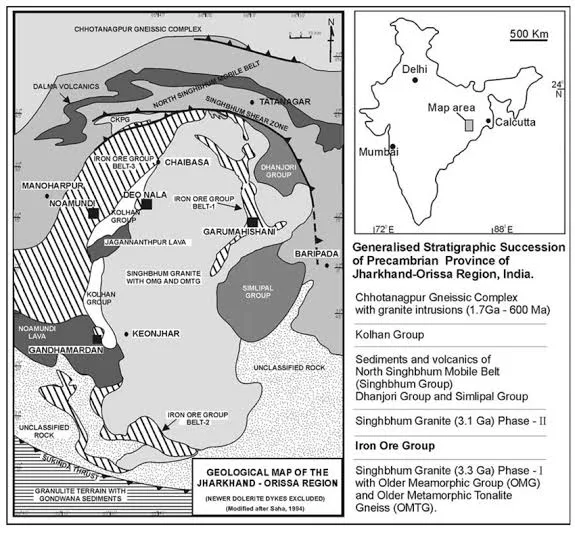
B) Geological Maps
These represent rocks with their mode of occurrence and dispositions (lithology & structure).
C) Climate Maps
These show average condition of temperature, pressure, wind and precipitation over a long period of time.
D) Weather map
It shows the average condition of temperature, pressure, wind and precipitation over a short period, which may range from day to a season.
E) Vegetation map
Showing natural flora of an area.
F) Soil map
It represents various types of soils covering an area.
G) Astronomical map
It shows the positions of stars and planets in the sky.
II Cultural map
These show man made features or human aspects.
A) Economic maps
These show distribution of important minerals, agricultural and industrial products and lines of transport and communication.
B) Political map
It shows boundaries between different countries and states within country.
C) Social map
It shows different languages, castes, ethnic groups and religions.
D) Land utilisation map
It exhibits the nature of land use
III Military maps
Maps used by defence services are called military maps. These are generally small scale maps.
Solve the problems given below-
1. Toposheet Map is a 2D diagrammatic representation of ..... topographic features.
a) 1D b) 2D
c) 3D c) All of the above.
2. When map having small area in detail then it is
a) Small Scale map
b) Large Scale map
c) Medium scale map
d) None of the above.
3. Small scale map has
a) Detail information of the area
b) Few information of the area
c) Both of the above
d) None of the above.
4. The scale of a Large scale map is
a) 1:50000 and above
b) 1:5000
c) 1:100000
d) All of the above
5. In a Cadastral map 1cm on the map is equal to distance on the ground
a) 1600m b) 800m
c) 80m. d) 200m.


Comments
Post a Comment